Going trekking in Kyrgyzstan’s Alay mountains was one of the reasons I came to Kyrgyzstan. There are few possible routes in the area, but the Heights of Alay trek from Sary Mogul village – through Sary Mogul pass – to Kojokelen village was the particular route I was looking at.
What's In My Bag
See my comprehensive packing list for Kyrgyzstan.
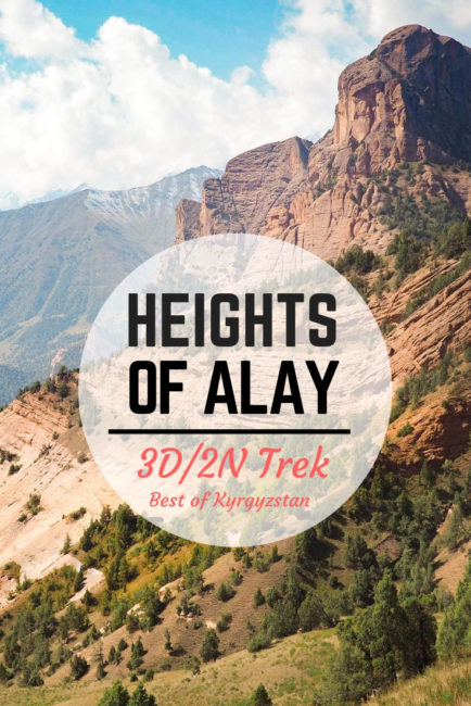
The Heights of Alay
Most CBT offices list Heights of Alay trek as a 4 day trek, with the last night spent in a homestay in Kojokelen before taking a taxi out day 4. But it’s possible to cut out the last day, making this a 3 day trek. If you’re in Kyrgyzstan for a short time, this is worth considering. Be aware that most, if not all, of Heights of Alay trek is at over 10k ft in elevation. If you’re prone to altitude sickness, take this into consideration and acclimatize.
Day 1 had the longest mileage and the highest in elevation gain. Having your first day on the trail being the hardest can be a good thing or a bad thing depending on you like your misery (personally I prefer getting the hardest day over and done with early on). Day 2 was done in much lower elevation, with a stretch along a village road, followed by one uphill slog after lunch. The campsite on day 2 was particularly beautiful. Day 3 was a half day hike on easy, relatively flat terrain that ends in Kojokelen village. Here you can opt to go back to Osh right away or spend the night in a homestay.
Alternative route: Sary Mogul – Jipstick Pass (Djiptik Pass) – Kojokelen
An alternative route from Sary Mogul to Kojokelen is through Djiptik Pass. For a longer trek, it’s also possible to do a loop in either direction. For example: Sary Mogul Village – Sary Mogul Pass – Kojokelen – Djiptik Pass – Sary Mogul Village. This will take 6-7 days.
The Cost
I hired a porter horse and a guide/horse wrangler for the trek. The cost is $376 for 2 people. CBT Sary Moghul was squirmy about the price details and actually changed the quoted price very last minute, even including an unasked for and unwanted “2nd guide”. Even though the trek was only 3 days, we ended up paying for 5 days worth of horse/guide/equipment since the trek wasn’t a loop and thus, we had to pay for the 2 days that it’d take the guide and horse to return to Sary Moghul. I thought this was so odd and the fact that this wasn’t communicated to us earlier, plus all the price changing shenanigan, left a bitter taste in my mouth.
If you bring your own equipment, you’ll only to pay for the transport to the trailhead, and from Kojokelen to Osh (~$15 each leg per car).
The Logistic
- Get yourself to Osh. I took a cheap flight from Bishkek for $30 (you can also opt for an 11 hour shared-taxi drive that some claim to be a very scenic drive.) In Osh, I stayed at the guesthouse attached to Osh CBT office (CBT Osh Hostel). It was a great place to meet potential trekking buddies. Here I met a British guy that I talked into joining me and sharing the cost of the guide and the porter horse.
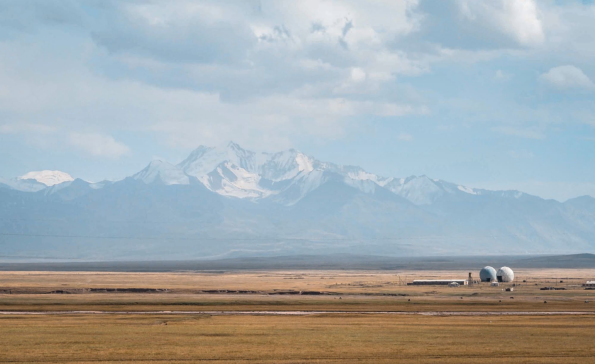
- From Osh, we took a shared van to Sary Moghul. Shared vans to Sary Moghul can be found under the overpass next to the bazaar, a 20 min walk from the CBT office. Just like anywhere else in Kyrgyzstan, shared vans only leave when they’re full so when they take you to an empty van, I recommend that you hang around looking for other alternatives. Otherwise, you might end up waiting for hours for it to fill up. In the end, we found a private car that just came from Sary Moghul and convinced the driver to take us. Osh to Sary Moghul journey took about 8 hours.
- Getting to the trailhead from Sary Moghul involves hiring a taxi. The local CBT office can help you with this. There are only 4 of us starting the Heights of Alay trek that day: my English buddy and I (with our horse and guide), and a German couple going at it independently.
Fought over
My newly found trekking buddy and I, along with a German couple we met at the guesthouse, went to the chaotic bus station to find a ride. However the shared van wasn’t due to leave for hours, so we decided to find an alternative. Annoyingly the minivan’s driver wouldn’t let us go and kept derailing our negotiation with other drivers. It was extremely frustrating.
Finally we managed to find a car that was going back to Sary Moghul. We snuck our bags from the minivan and placed them in the new car. But just before we managed to drive away, the minivan’s driver discovered our betrayal and blocked the car! The minivan’s driver and our new driver had a long heated argument that drew a crowd, that ended with some money exchanging hands. We didn’t think we would ever leave!

Top: On the road to Sary Mogul. Bottom: Sary Mogul village
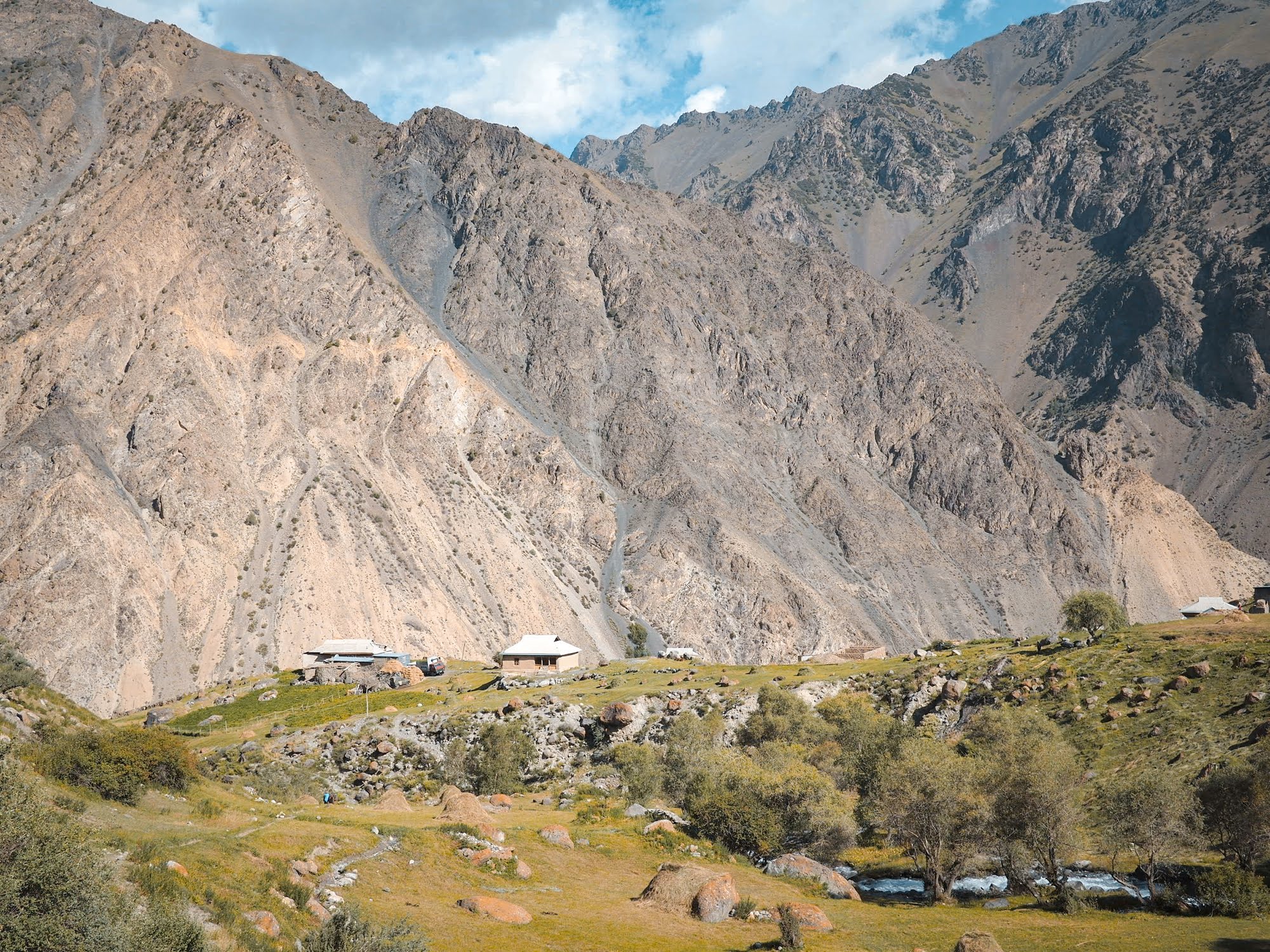
At Sary Moghul
At Sary Moghul, we stayed at a guesthouse that’s also run by CBT (Sary Mogul Hostel). Sary Moghul is a small village consisting of nothing much. A bunch of boxy-looking structures on a stretch of flat dusty plain. We were able to find a small store to stock up on food (mostly candies, chips, and bread). There are no restaurants. You eat at your guesthouse. Definitely get your trekking supplies in Osh.
There are a few other treks that start here in Sary Moghul including a trek to Lenin Peak.
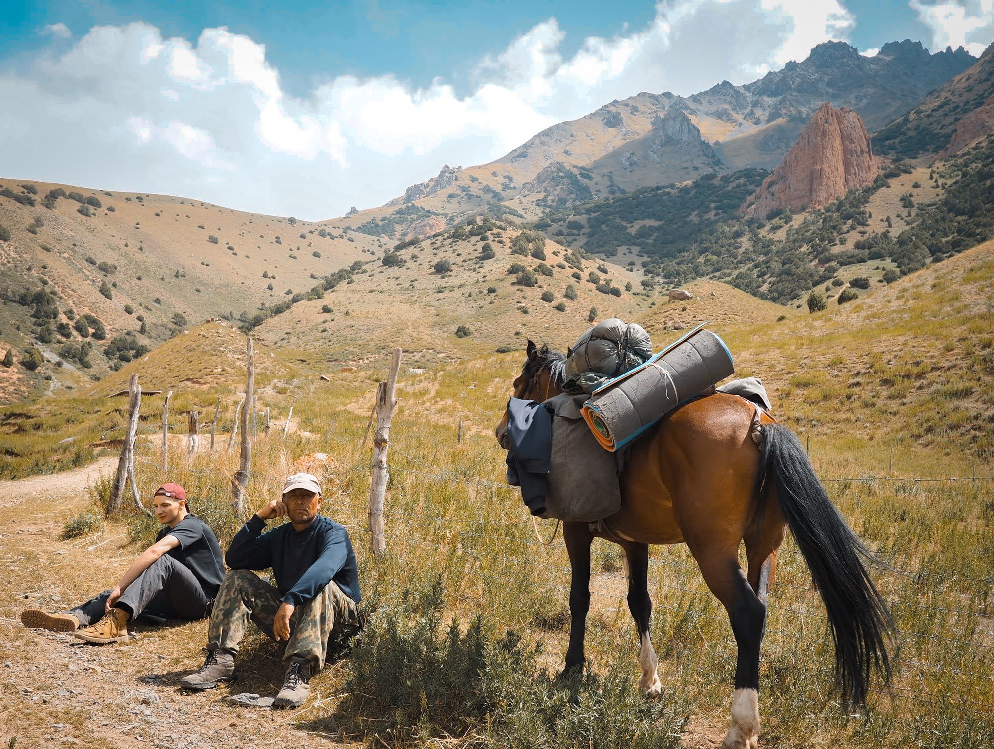
I had pre-arranged a guide, equipment rental, and a porter horse with CBT Sary Moghul. Be aware that rental quality is very low (heavy and bulky). If you’re planning to do this independently (sans guide or porter horse), don’t count on renting equipment locally. I highly recommend bringing your own gear.

Unloading.
Day 1
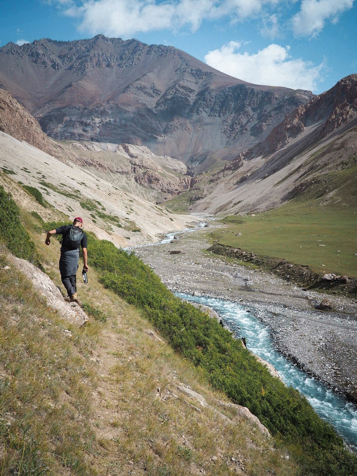
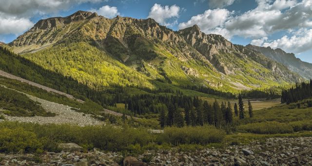
The first day was the hardest since we immediately started climbing to go up over Sary Moghul pass at 5000m in elevation. This was my first trek in Kyrgyzstan and only my 3rd day in the country and so I hadn’t had time to acclimatize. The elevation kicked my butt. My legs felt like lead and each step was a struggle. The last hour or two before the pass felt like the hardest stretch I’d ever done in my life – and I wasn’t even carrying a full pack. I was fighting for oxygen at every single step and going so very slow.

Starting out the Heights of Alay trek

Meet our guide. I never caught his name, but I know he has 8 children.

Looking back towards the starting point of the trek.
The view from the pass was otherworldly. The sky was overcast and everything assumed the kind of grayscale quality that made me feel like I was in a painting. My head and heart were pounding but I remember feeling joyfyul; joy at the view, joy at the knowledge that it was all – literally – downhill from here.
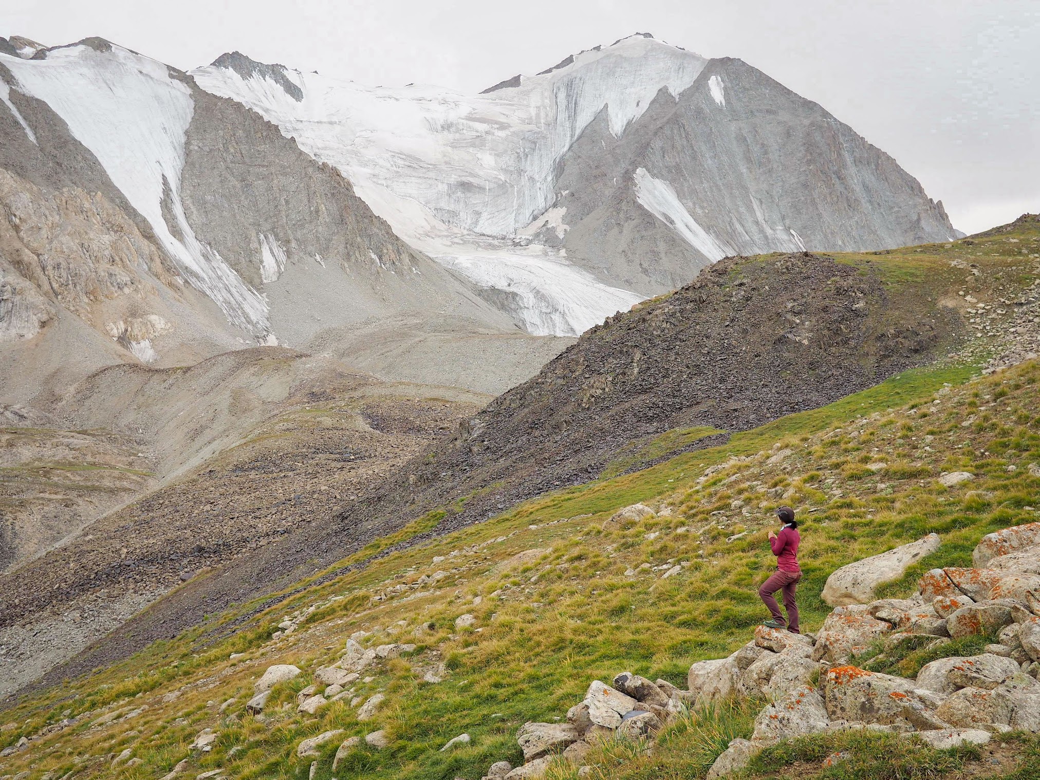

At Sary Mogul Pass

Coming down Sary Moghul pass involved sliding down scree and dirt. Fun! (Not really).
Look at that view!
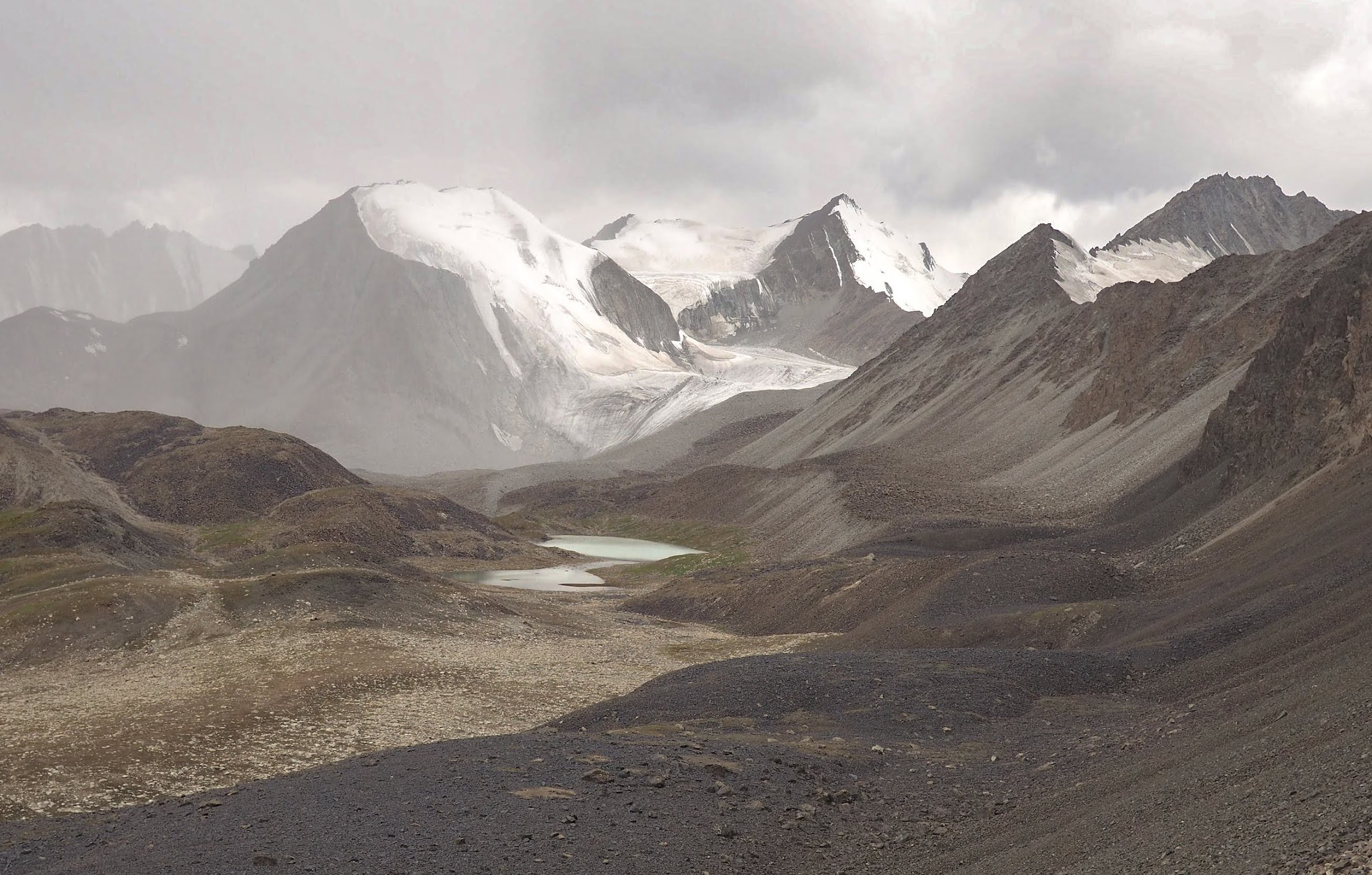
We didn’t spend much time at elevation since once we got over the pass, we climbed down and spent the night at a much lower elevation (but still at over 10000 ft). This saved my ass because I think the altitude would’ve gotten to me otherwise. I wasn’t doing too well at all.
Dinner was vegetarian plov with carrots and onion. Our horse porter was also a guide AND a cook. It was such a treat. I could get used to this 🙂
Day 2
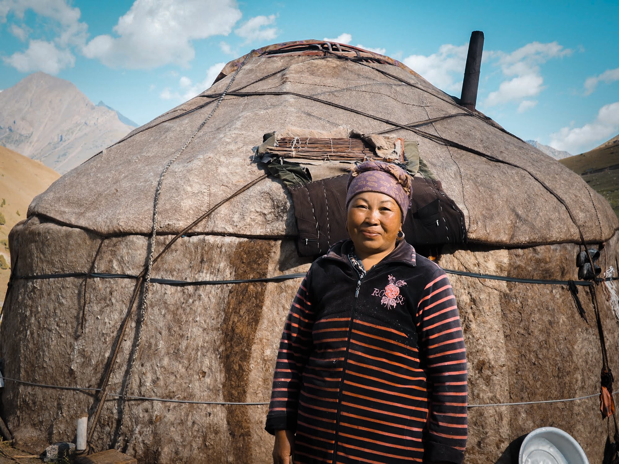
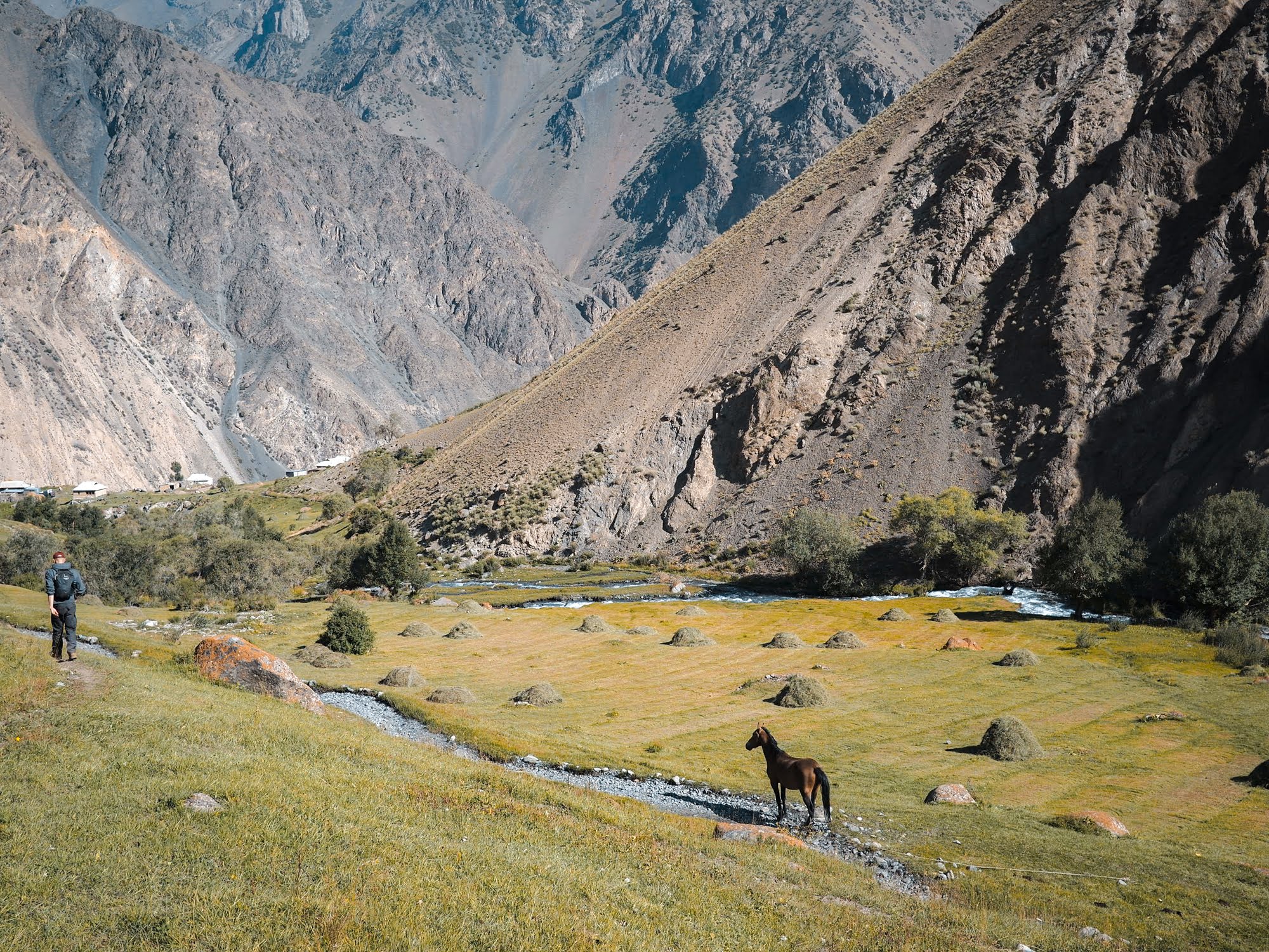
We followed the river and ran into a couple of small shepherd yurts. Our guide stopped to talk to a woman tending the ground outside one of the yurts.
He then gestured for us to enter the yurt where the woman proceeded to serve us fried eggs, bread, and fresh clotted cream. We knew it was fresh because her little boy was churning cream in front of us. The yurt was incredibly warm thanks to a wood stove. It was so warm and cozy, after demolishing the eggs and cream I just wanted to curl up and sleep. But alas, we still had hours of walking to do.
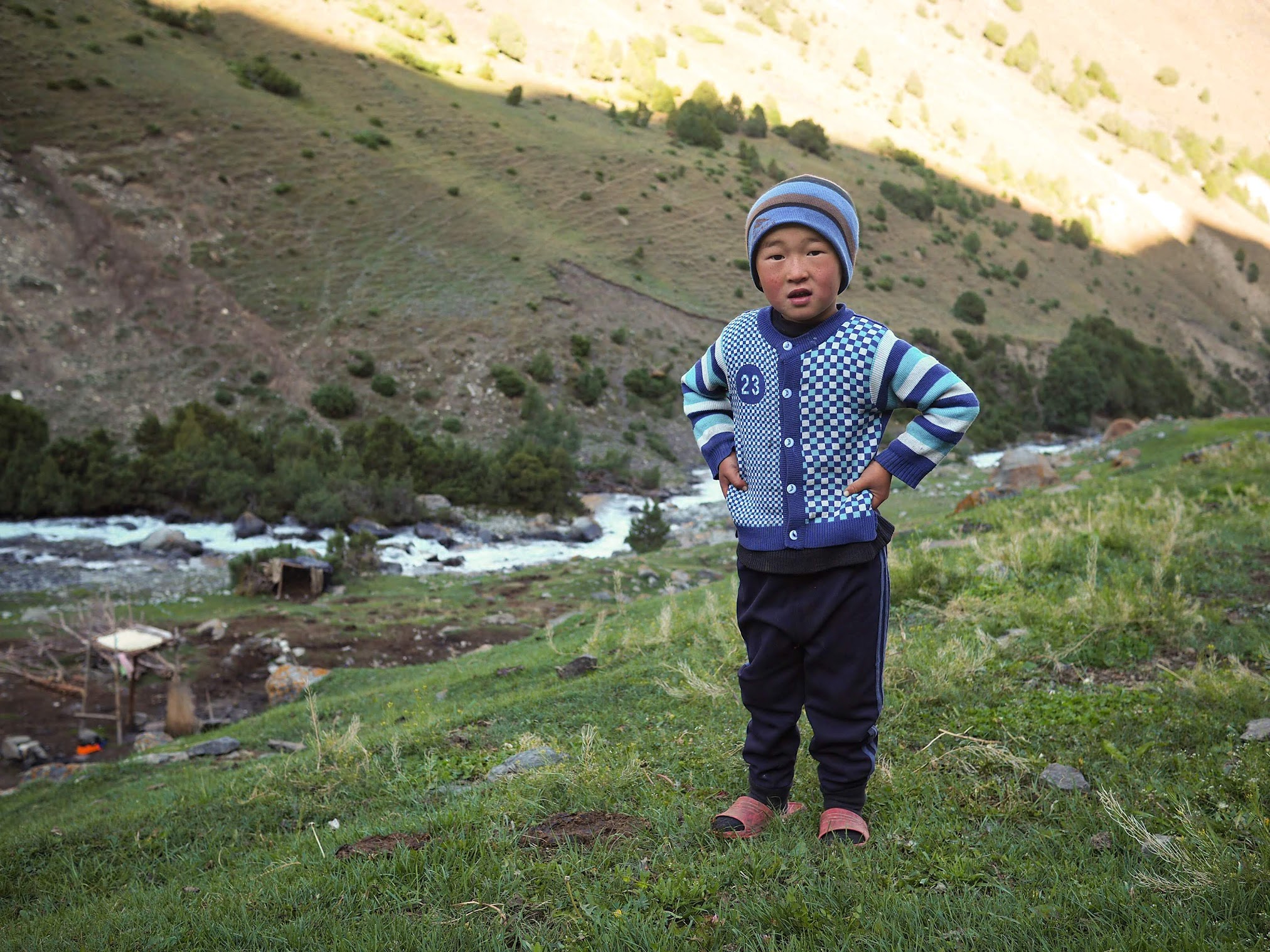


We stopped at the yurt for some fried egg and fresh cream breakfast.
Around noon we arrived at a small village with a dirt road passing through it. We hiked along the dirt road for awhile until our guide led us to a house. Mind you, our guide didn’t speak any English so we were never really sure what was going on. We were seated at a formal dining area – as opposed to sitting on the floor as per custom – and were served Kyrgyzstan bread and jam. Kyrgyzstan bread is ubiquitous and it’s suffice to say that it looks much better than it tastes.
After sitting an hour and munching on bread and jam, I was like, “Alright, let’s get going. Let’s get back on the road and start hiking.” My guide stopped me, “Lunch is coming.” I paused. Wait, what? I thought lunch was what we had been doing for the past hour – you know, the bread and jam?
But I was wrong. Soon the women of the household came into the room carrying trays laden with bowls of potato soup. I groaned inwardly because the soup looked so good but I was already stuffed with bread. The thing was, I wasn’t even hungry at all. I ate the stupid bread because I thought that was lunch and it seemed like the wise thing to do. Well, there was only thing to do. I grabbed my pack and walked out of the house.
Just kidding. I forced myself to eat the soup. It felt like a punishment. It didn’t leave me feeling good at all.


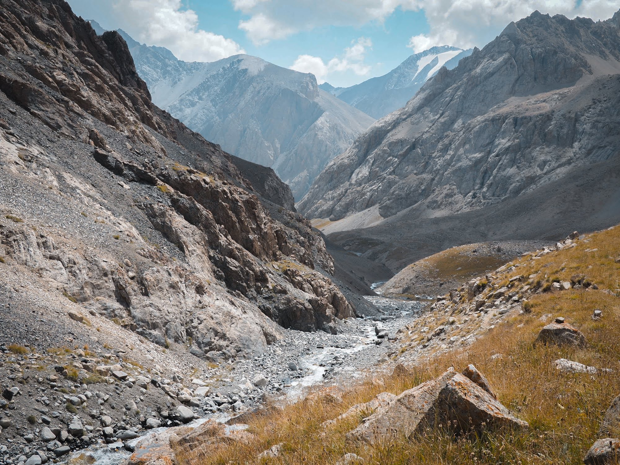
Epic valley views on the way to lunch
After leaving the house, we started up a steep climb up the pass of the day. I could feel the soup sloshing around my stomach. Not the best feeling in the world. My English trekking buddy wasn’t feeling so hot either. I think the altitude, plus some mild food poisoning, got to him. Then we ran into the German couple who started the hike with us. The woman was also going through some stomach issue and they decided to camp early or find a ride back to town. Man, people were dropping all around me like flies. I feared that it was my turn next.
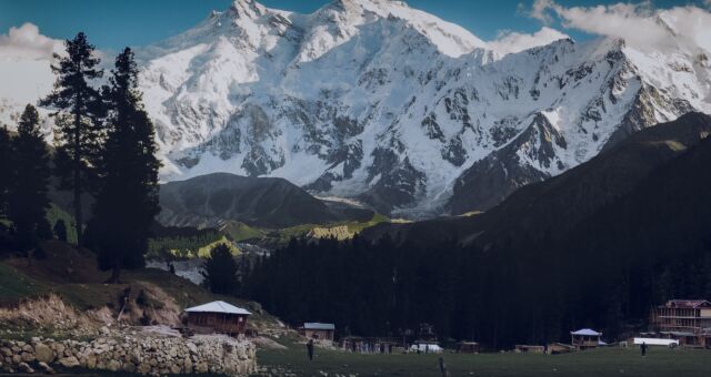
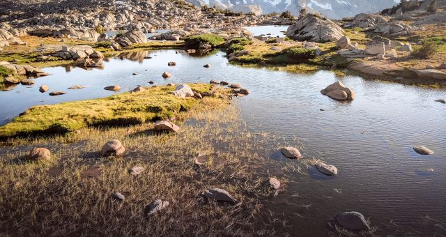
That night we camped in a beautiful valley (labeled “Kosh Moynok” on Maps.me). A read cliff soaring above us and small river lulling us to sleep. So freaking gorgeous. However, I did feel queasy to my stomach. Our guide called us to dinner but the smell of it prompted a violent gag reaction. I didn’t eat dinner that night, neither did the British guy. I heard our guide inviting nearby shepherds to dinner and I took comfort knowing that the food wasn’t wasted.
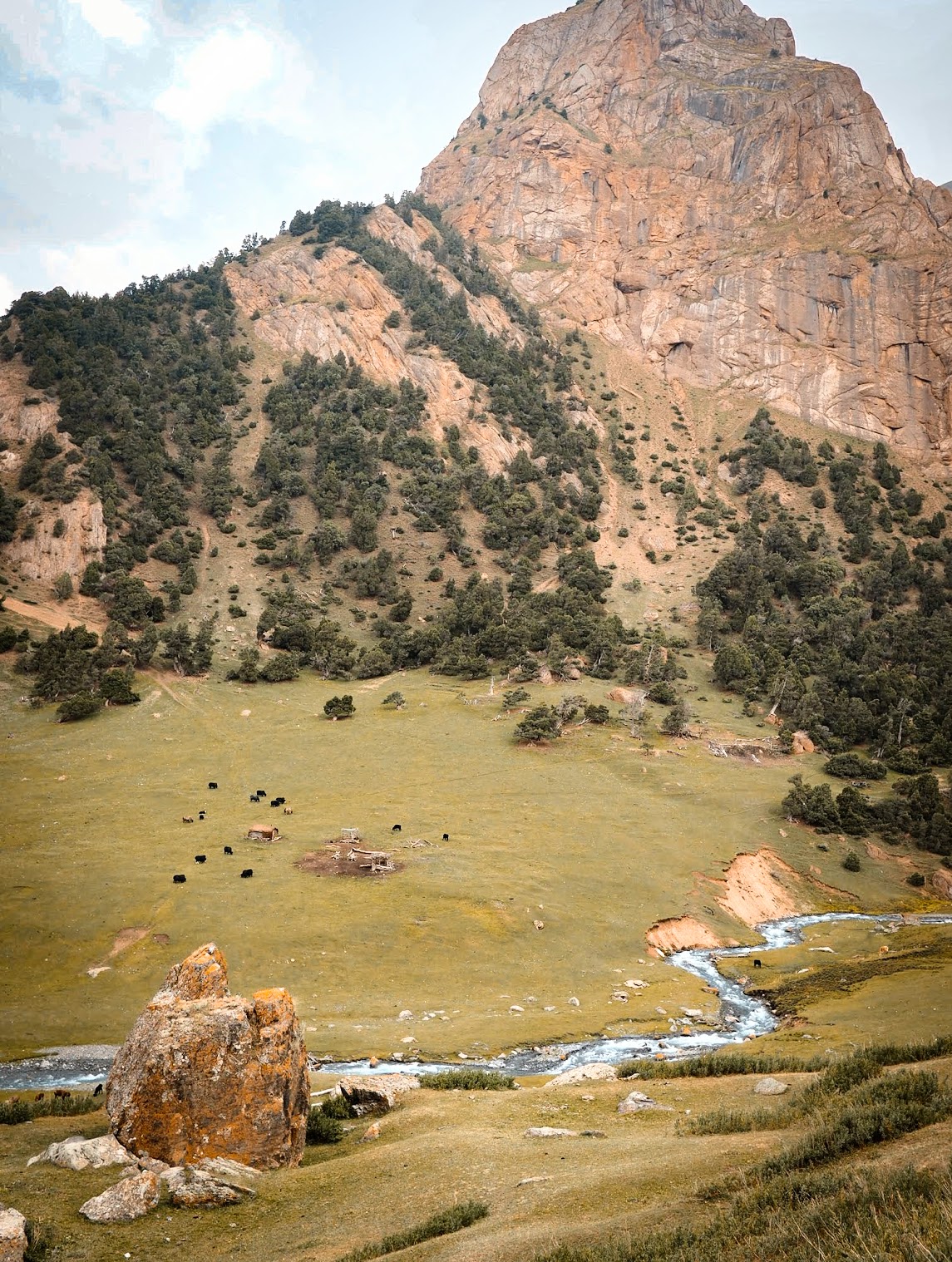

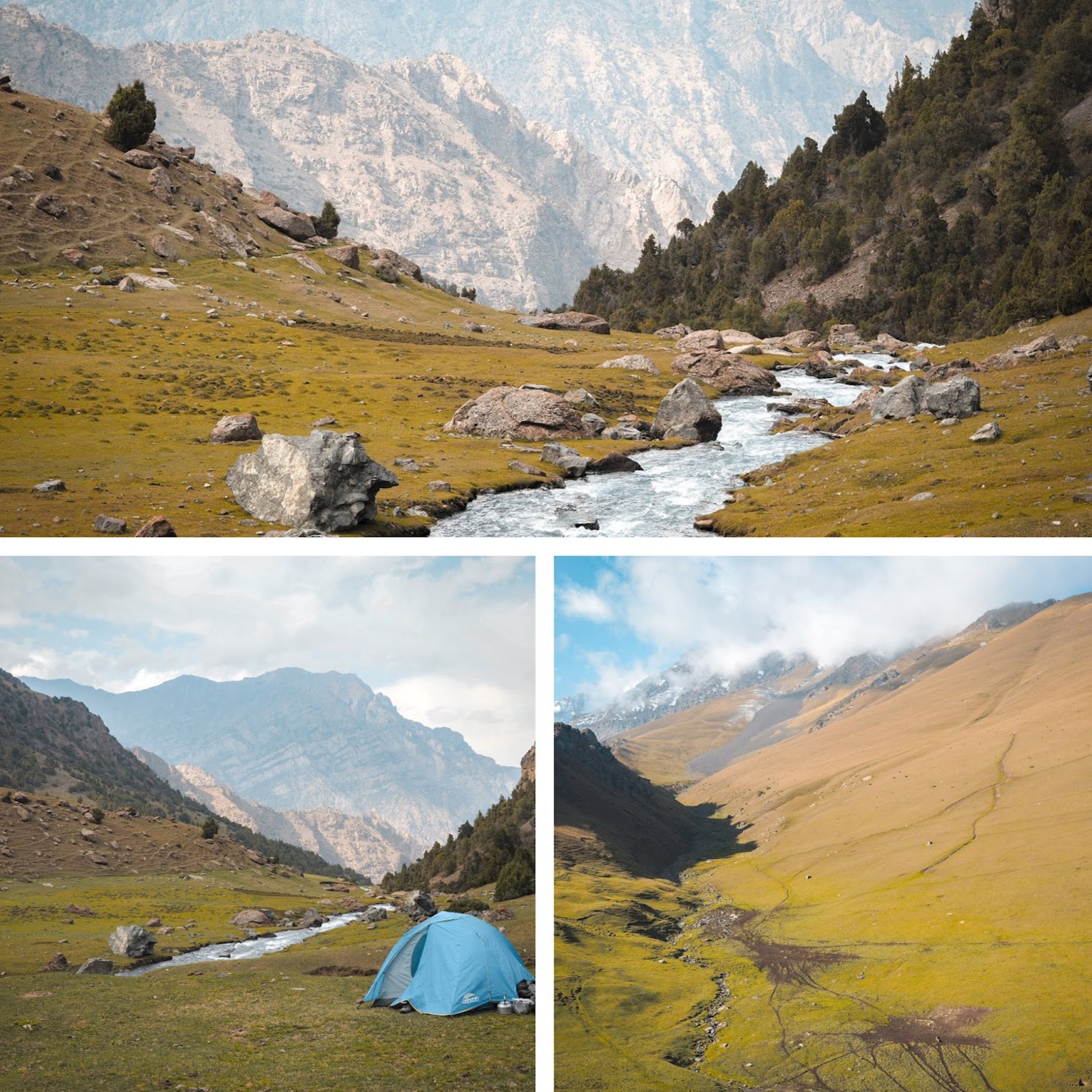

Campsite on day #2 – isn’t it just spectacular?
Day 3
The hike on this last day of Heights of Alay trek was uneventful. It was supposed to be a short day mileage wise, but felt long because it was quite monotonous. I felt quite reinvigorated when we finally arrived at Kojokelen though. And quite smitten too.


Views on the way to Kojokelen.
Kojokelen was a cute village located in a beautiful setting. We were welcomed at the homestay with – guess what? – bread and jam. Kojokelen was where we were supposed to spend the night. But it was barely noon and the prospect of spending that much time in a small village – however cute it was – made me antsy. So when I learned that the owner was making a drive to Osh, I decided to go with him even though the homestay was already paid for.
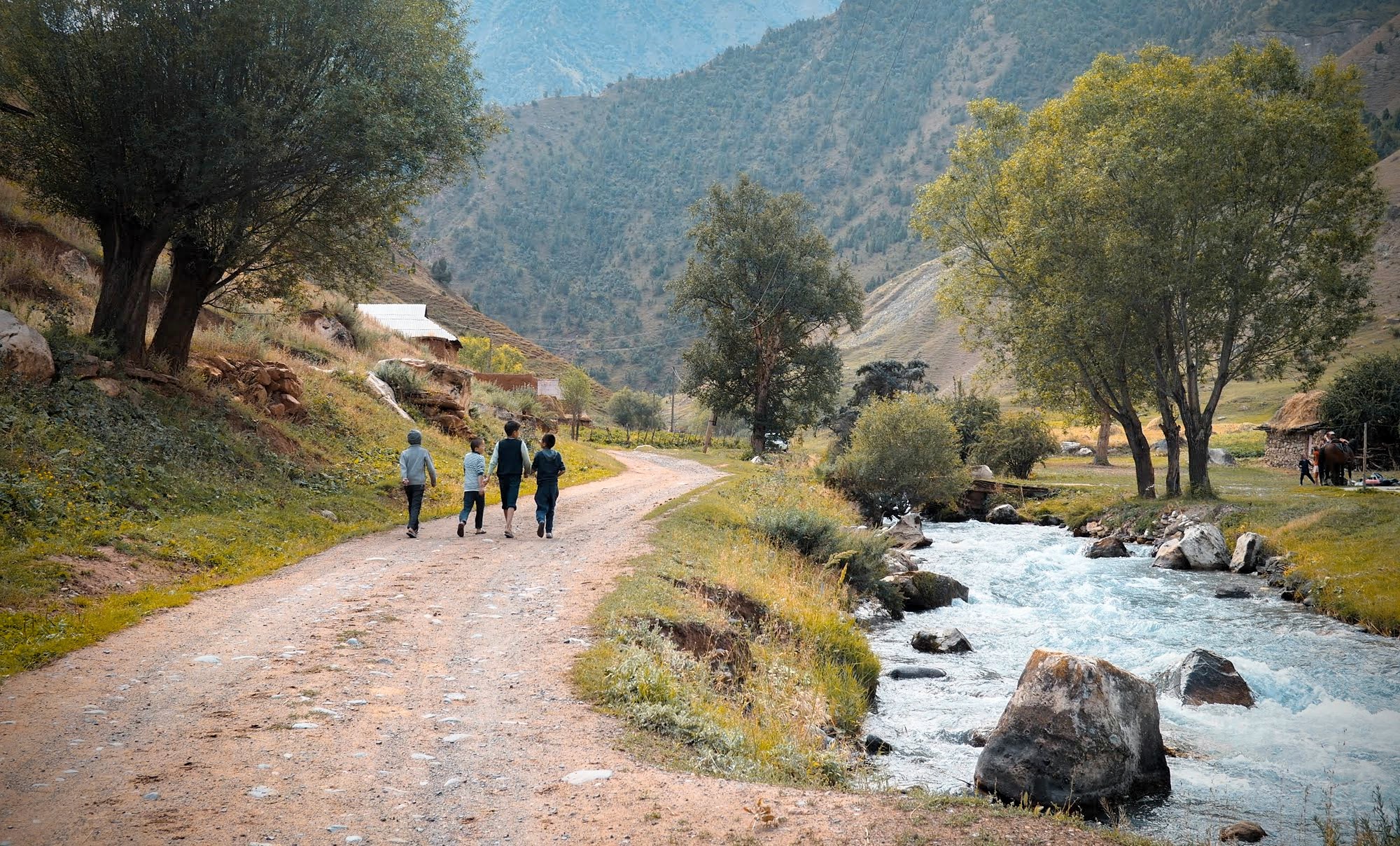
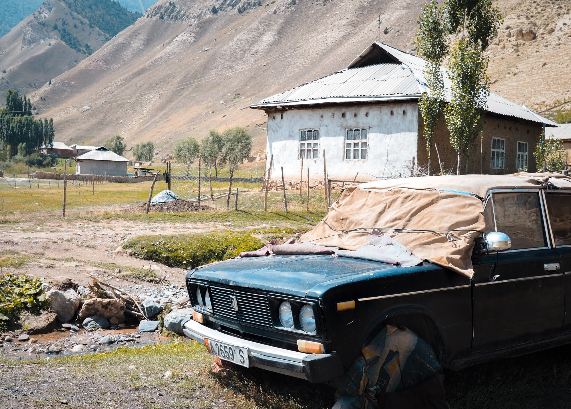

Kojokelen village scenes
So I found myself back in Osh in mid-afternoon on day 3, legs a little sore but not so sore that I couldn’t make the hike up Sulaiman-Too Mountain to catch sunset. What better way to cool down post 3-day trekking trip than a short hike up a local mountain, right? Just kidding. I was just being a masochist.
Gear List
See my comprehensive packing list for trekking Kyrgyzstan.
-
- Smart layering system
Just like any other multi-day treks, layering is key. I brought my trifecta: my Smartwool 250 baselayer, Patagonia Nano-Air, and a Goretex rain shell. I knew it was going to be cold, so I brought an extra layer as well. - Buff
My Buff headband served me well. It’s one of my favorite trekking gear. Who knew that a piece of stretchy fabric can be so useful? - Altra Trailrunner
I usually hike in lightweight trail runners, but just like in Patagonia, on this particular trek I used stiffer/thicker shoes for warmth as well as stability. They’re still considered trail runners though. Altra shoes are not the prettiest shoes, IMO, but my wide, bunioned feet swear by them. - Sleeping bag liner
Since my sleeping bag on this trek was a rental, having a sleeping bag liner gave me a piece of mind on the hygienic department.
- Smart layering system
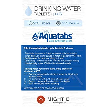
Water purifying tablets
My guide drank water straight from the river, but I ain’t crazy. My purifying tablets was worth their weight in gold.
- Maps.me
If you were doing Heights of Alay trek independently (or any other popular treks in Kyrgyzstan including Ala Kul), do yourself a favor and get Maps.me app. It’s free and it actually covers Kyrgyzstan’s hiking trails pretty well. Everyone I met here used the app.
—
Closing Note on Trekking in Kyrgyzstan
Kyrgyzstan is 90% mountain and therefore offers numerous trekking opportunities. During my 2-weeks visit I only had time to do 2 multi-day treks in Kyrgyzstan: Heights of Alay from Osh (this one) and Ala Kul Lake from Karakol. Each offered such different scenery. Each kicked my arse in their own way. Heights of Alay trek definitely felt more wild and remote though, we didn’t see anybody else except for the German couple who started the hike with us.
Questions and Comments
Comments are disabled. If you have any questions about the post, you can DM me on Instagram: @jacknjilltravel.