Wyoming’s Wind River Range is one of my favorite discoveries during our year-long climbing road trip. I can spend a whole summer here. I can keep coming back year after year.
This mountain range stole my heart. Now that I live in super-flat Berlin, when I dream of mountains, the Wind River’s shark-tooth granite peaks pop to mind.
Related: Climbing Pingora Peak
There are 2 main access to the Wind Rivers: Big Sandy Trailhead is the easiest way to access the Cirque of Towers in the South. Further north is the Elkhard Trailhead. This is the trailhead for a 10-mile hike to Island Lake where we’re planning to spend the night.
Our goal for this trip is the summit of Fremont Peak. Our plan was to hike and set up camp by Island Lake, summit Freemont Peak the next day, and return to the car the day after.
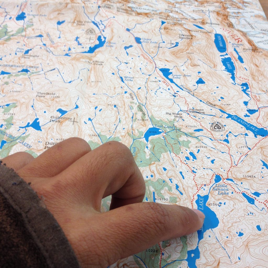
Plotting our route into the Winds at the public library in Jackson, WY
Tips: Looking for a topo app? we use Topo Maps and Backcountry Navigator
From Island Lake, we’ll access the saddle from Indian Basin, summit, and descend to Mistake Lake on Titcomb Basin.
2 beautiful alpine basins and a summit sounds like my kind of backcountry trip. I have no doubt that it’s going to be one gorgeous trip.
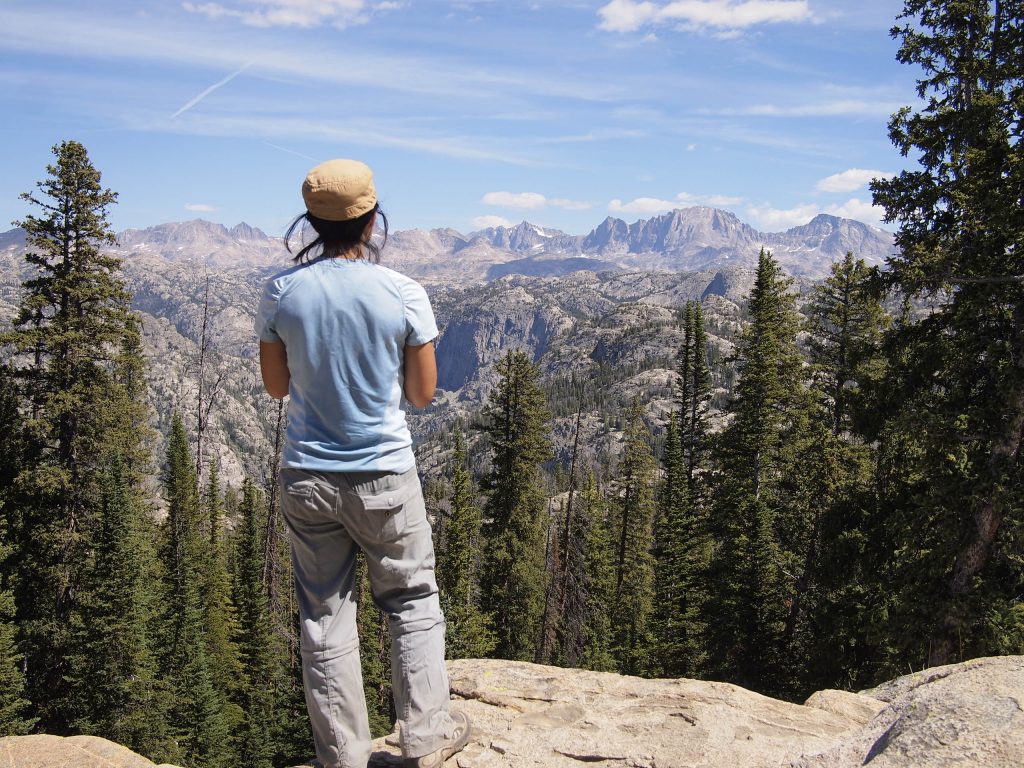
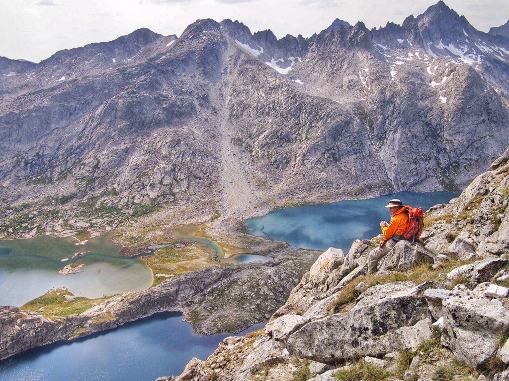
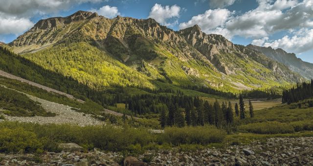
Gazing upon Freemont Peak, our destination. It’s the large, sloping peak at the middle right of the picture. The saddle is obvious.
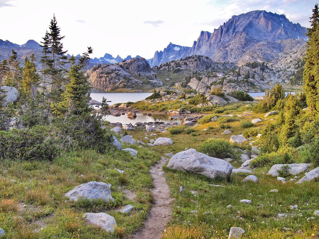
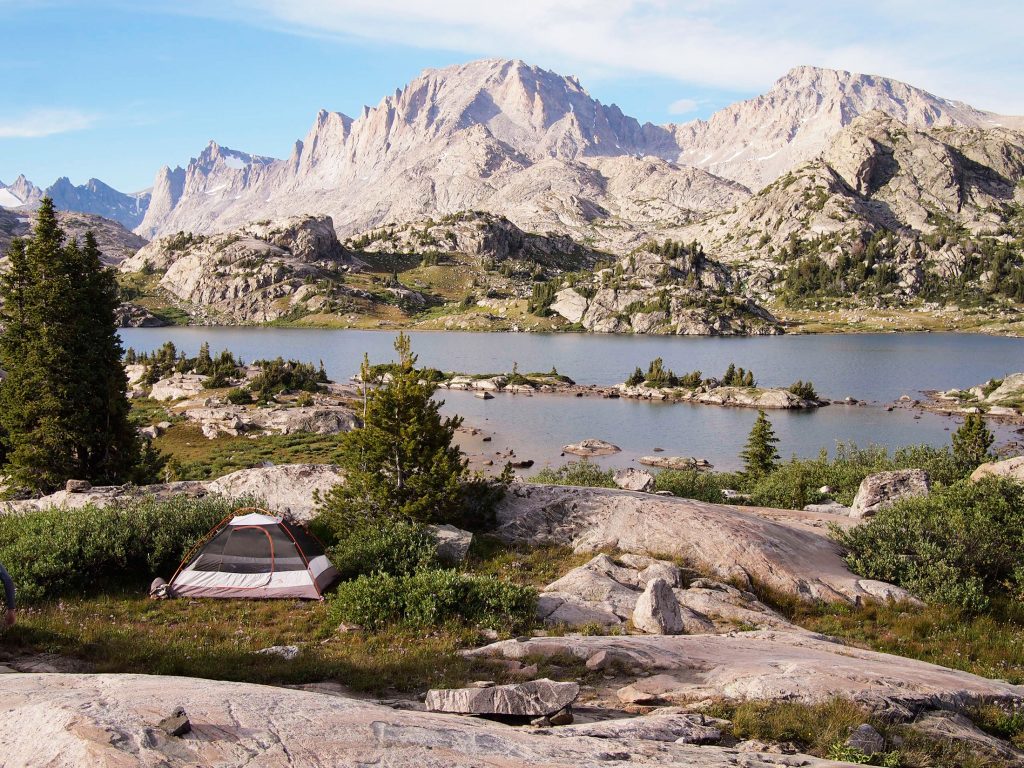
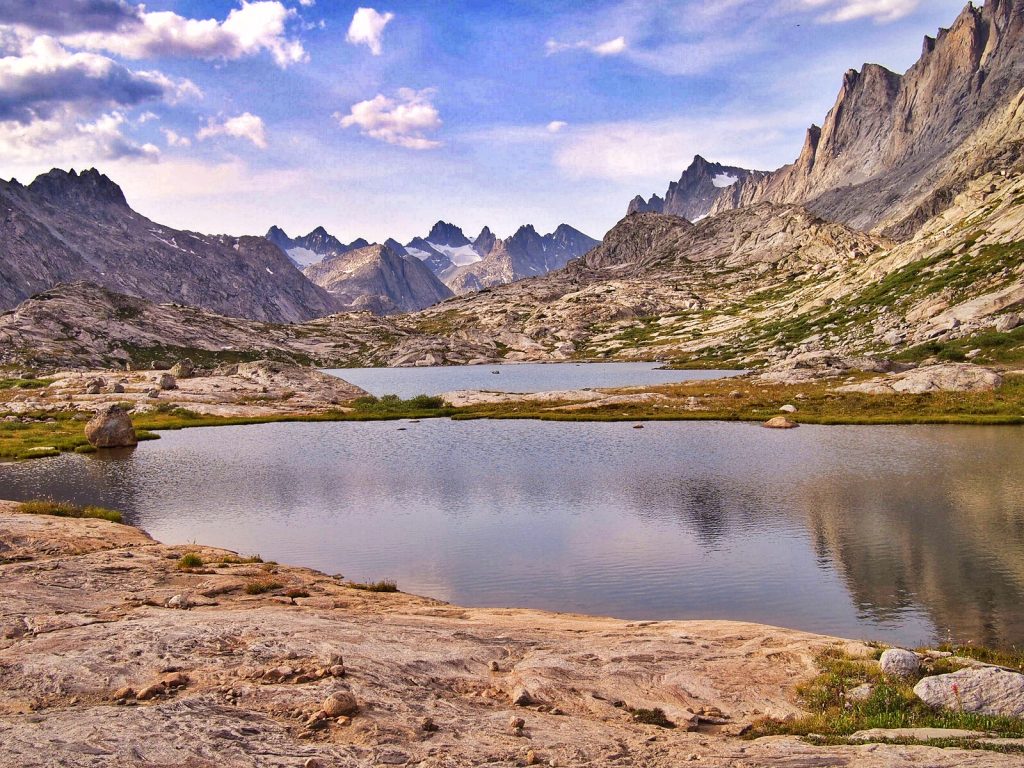
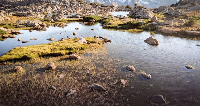
View from our second campsite in Island Lake
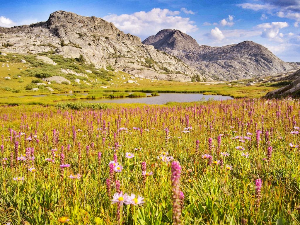
Wild flowers are everywhere
Our packs were lighter than usual because we were not carrying any climbing gear. It’s funny how on our pre-climbing days, I used to have a hard time hiking under the weight of overnight backpacking gear.
But now, there were springs in my steps as we made our way towards the beckoning peaks. It took us no time at all to hike the 10 miles to Indian Lake where we set up camp.
Upon arrival, we quickly got to experience the Wind’s infamous mosquitoes first hand. It was so bad that despite bug spray, we were tent-bound for the afternoon watching a few dozens mosquitoes watching us. Thankfully there was a bug screen separating us.
They could smell us and they were thirsty.
Where we first set up tent, the mosquitoes were so bad we stayed inside the tent all afternoon. We then moved closer towards the main trail where it was much better.
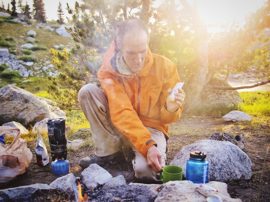
Dinner preparation. The smoke helps keep mosquitoes at bay.
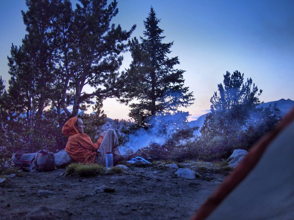
Post dinner sunset viewing, Wind River style
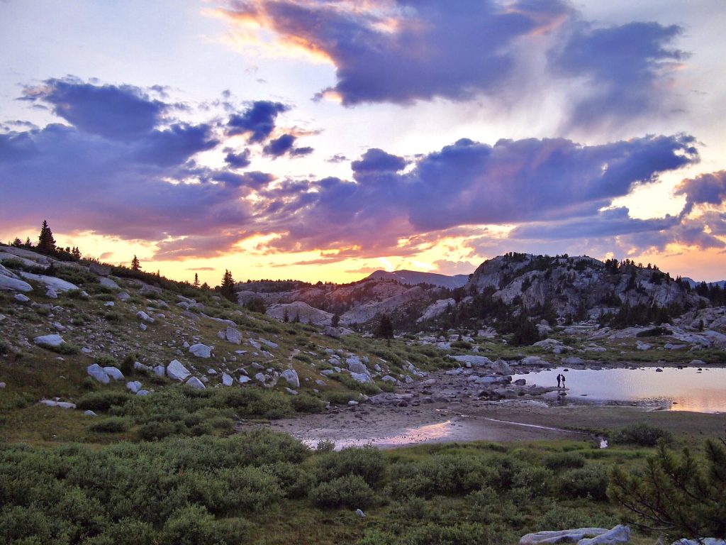
I’m so utterly in love with this place.
The next morning, we had an early start. The trail was straightforward until we got to the bottom of the saddle. From here a little route finding was necessary and it took us sometime to navigate the loose rocks and slabs to reach the saddle itself.
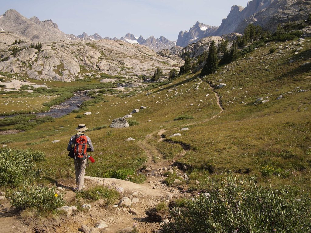
Well, maybe not that early of a start. Our trail towards Indian Basin.
A 3rd class scramble is all it takes to get to Freemont Peak. It’s not a gimme though. Even though the distance from the saddle to the summit is less than 1 mile, the 1700 ft elevation gain humbled us. Slow and steady was the name of the game. It took us a sweaty, heart bursting 2 hours to reach the summit block.
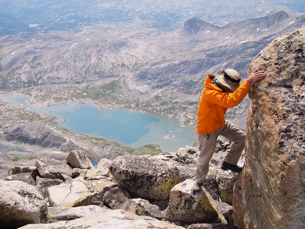
To the summit block!
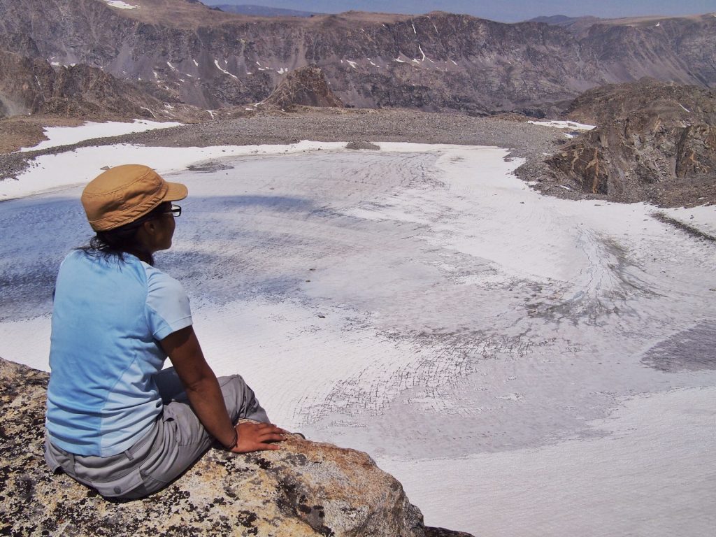
View of the glacier field from Freemont Peak. The peak with a big snowpatch at the top is Garnet Peak, the highest peak in Wyoming.
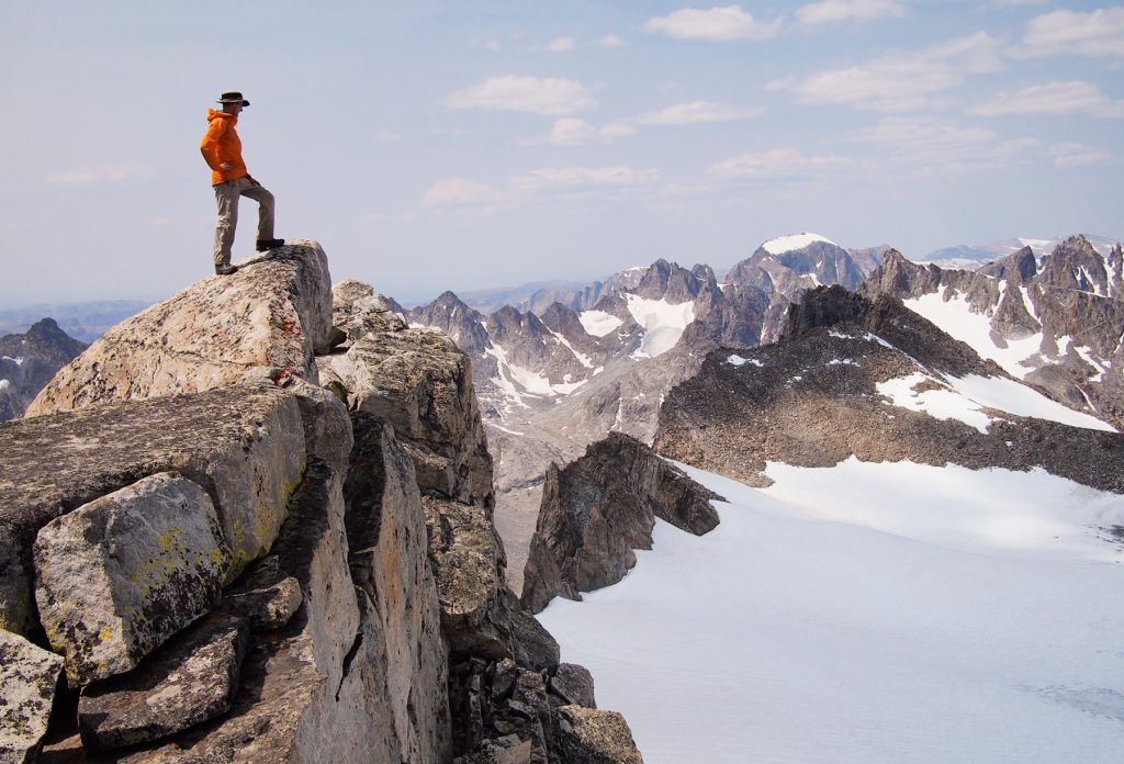
We made it!
Look at that unbelievable view! Titcomb Basin from Freemont Peak
Looking back to Titcomb Basin on way back to camp
I’ve earned my summit and I’m feeling like on top of the world.

Questions and Comments
Comments are disabled. If you have any questions about the post, you can DM me on Instagram: @jacknjilltravel.